Learn about the 14 Segments
Segment 1 (Scott’s Head → Soufrière Estate)
“Coastal volcanic trek—whale-watch views, black-sand beach.
Difficulty: Easy.
Tip: Start early; bring water.”
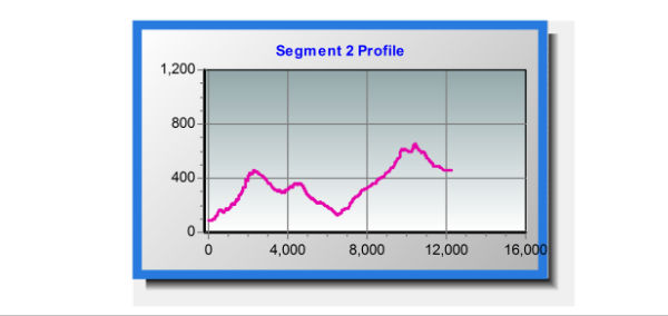
Segment 2 (Soufrière → Bellevue Chopin)
“Sulphur springs, farming villages, gentle ascent.
Difficulty: Easy.
Tip: Respect hot springs; use proper footwear.”
Segment 3 (Bellevue Chopin → Wotten Waven)
“Rivers, hot springs, cultural villages, moderate terrain.
Difficulty: Moderate.
Tip: Wear water-resistant shoes; consult a guide.”
Segment 4 (Wotten Waven → Pont Casse)
“Long mountainous pass, forest views, challenging climbs.
Difficulty: Challenging.
Tip: Start by 9:30 a.m., hike with a guide.”
Segment 5 (Pont Casse → Castle Bruce)
“Through rainforest, multiple rivers, scenic mountain views.
Difficulty: Moderate.
Tip: Use GPS/maps; river shoes recommended.”
Segment 6 (Castle Bruce → Hatton Garden)
“Kalinago Territory, heritage sites, cultural immersion.
Difficulty: Moderate.
Tip: Bring water, respect local customs.”
Segment 7 (Hatton Garden → First Camp)
“Remote jungle, camping terrain, raw wilderness.
Difficulty: Severe.
Tip: Bring shelter, go with experienced group.”
Segment 8 (First Camp → Petite Macoucherie / Penville)
“Cross-island route, rugged, damaged by hurricane, wildlife sightings.
Difficulty: Severe.
Tip: Hire guide; carry navigation tools.”
Segment 9 (Petite Macoucherie → Colihaut Heights / Syndicate?)
“Remote, rough terrain, Morne Diablotin access.
Difficulty: Severe.
Tip: Be fit; carry survival essentials.”
Segment 10 (Colihaut Heights → Syndicate)
“Steep descents, rivers, foothills.
Difficulty: Challenging.
Tip: Trek poles useful; check weather for flood risk.”
Segment 11 (Syndicate → Borne)
“Jagged forest, birdwatching opportunities.
Difficulty: Hard.
Tip: Use insect repellent; stay on marked trail.”
Segment 12 (Borne → Penville / Cottage)
“Ocean views, remote forest paths.
Difficulty: Challenging.
Tip: Bring snacks, ensure communication device works.”
Segment 13 (Penville → Capuchin)
“Coastal farmland, goats, scenic serenity.
Difficulty: Moderate to Easy.
Tip: Ideal for casual hikers; still wear sturdy shoes.”
Segment 14 (Capuchin → Cabrits National Park)
“Historic Fort Shirley finishes, coastal trail.
Difficulty: Easy.
Tip: Great for families; pair with beach visit.”
SEGMENT 01: SCOTT’S HEAD/MARTINIQUE CHANNEL
15.215001°, -61.374371°
SEGMENT 02: SOUFRIERE
15.232480°, -61.361686°
SEGMENT 03: CHAMPAGNE BEACH
15.245272°, -61.72853°
SEGMENT 04: ROSEAU
FY: 15.295434°, -61.387002° | SW: 15.288296°, -61.376736°
SEGMENT 05: CANEFIELD/DONKEY BEACH
15.332757°, -61.3947804°
SEGMENT 06: MAHAUT
15.353149°, -61.393966°
SEGMENT 07: ST. JOSEPH/LAYOU
15.395386°, -61.425922°
SEGMENT 08: SALISBURY
15.433980°, -61.437257°
SEGMENT 09: BATALIE BEACH
15.451227°, -61.447003°
SEGMENT 10: COLIHAUT
15.486308°, -61.464993°
SEGMENT 11: DUBLANC
15.516606°, -61.470288°
SEGMENT 12: PORTSMOUTH/PICARD BEACH
15.554145°, -61.402191°
SEGMENT 13: TOUCARI
15.609572°, -61.464282°
SEGMENT 14: CAPUCHIN/GUADELOUPE CHANNEL
15.629432°, -61.463458°